Strata Marcella Abbey, flood risk and river erosion
Between 2010 and 2021 and with funding from Cadw, our field team have been recording and monitoring events at Strata Marcella Abbey near Welshpool to assess the potential threats to the site from flooding and river erosion.
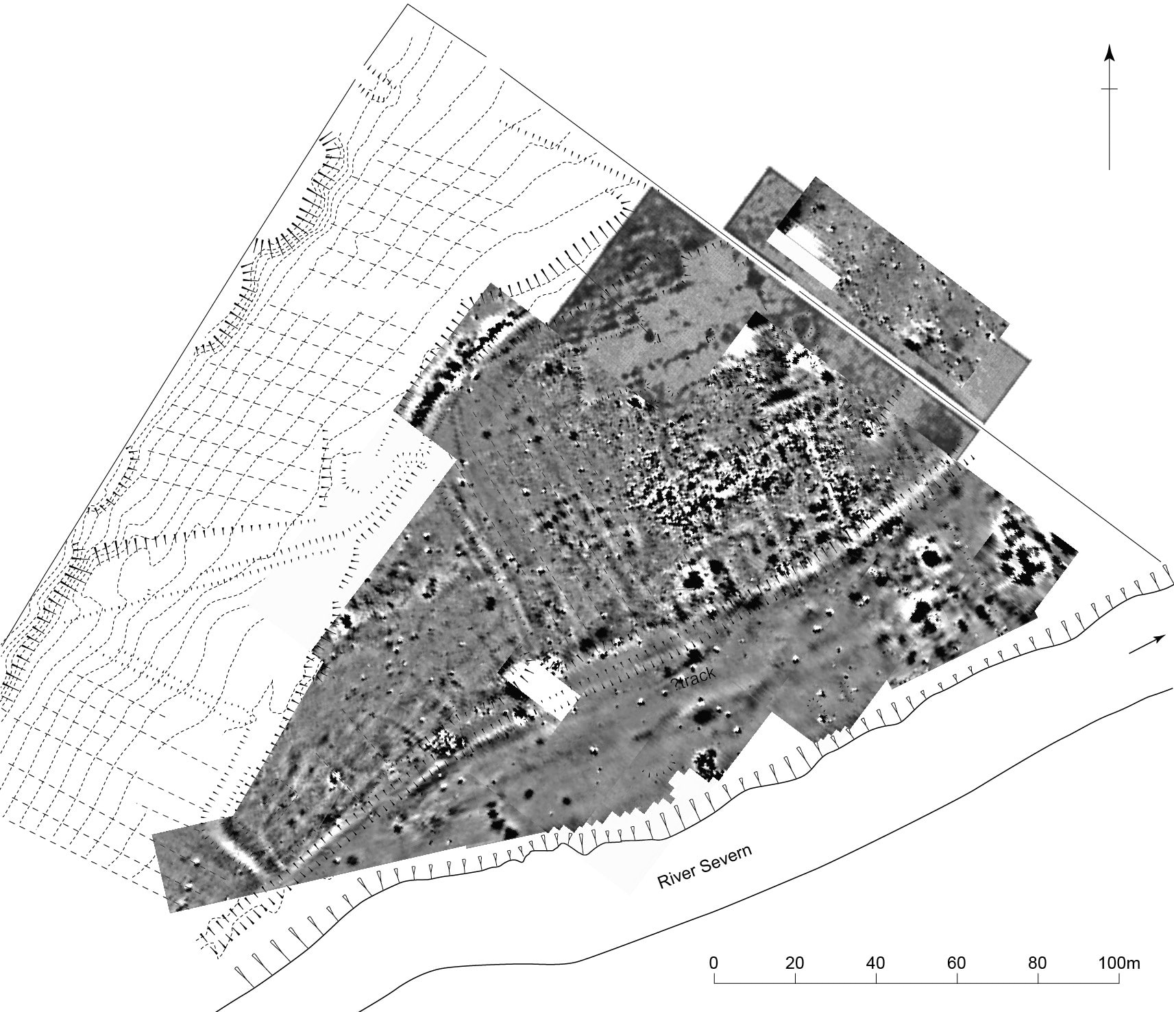
The abbey was founded in 1170 at the invitation of Owain Cyfeiliog, a prince of southern Powys, who was buried there in 1197. Although the abbey suffered during Edward I’s Welsh wars, building work continued on the site until the early 14th century. In 1400-5 the abbey was partially destroyed during the Owain Glyndwr risings, and though the abbey remained active until the Dissolution it went into decline as a result. By 1536, when it was dissolved, there were few monks and some of the monastic buildings were already ruinous. It seems that the monastery was then largely dismantled, with some of the stone apparently being taken for use in the building of nearby churches, while Abbey Farm was erected in the ruins, probably over the claustral ranges with the cloister being used for the farm’s courtyard. The site was the subject of excavations in 1890 by the Powysland Club, which largely focused on the abbey church, while a geophysical survey was undertaken in 1990, although this was not particularly revealing.
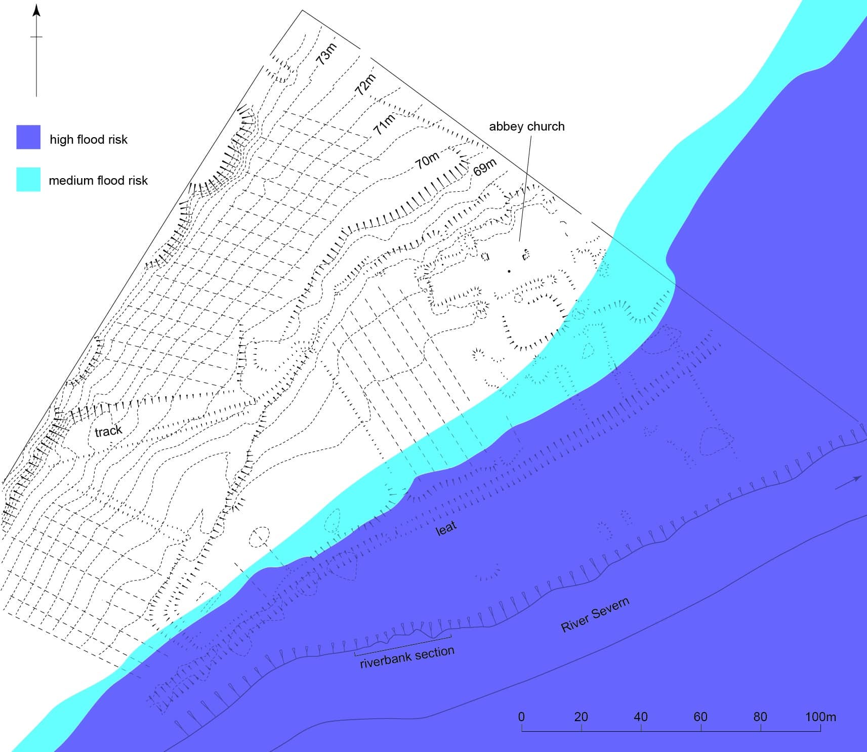
The earthwork remains of the abbey lie on the west bank of the River Severn on the edge of the floodplain, and while this would have been an impressive site in its heyday the visible remains are now little more than a hint at its former glories. Indeed, of all the Welsh Cistercian abbeys this is perhaps one of the least known and poorly understood.
Aside from the Ordnance Survey, there had been no detailed survey of the visible earthworks at the abbey site. With funding from Cadw, our field team conducted a detailed topographical survey of the remains in 2010, at which time it was also noted that various features including stone surfaces, walls and gullies were eroding from the northern bank of the River Severn.
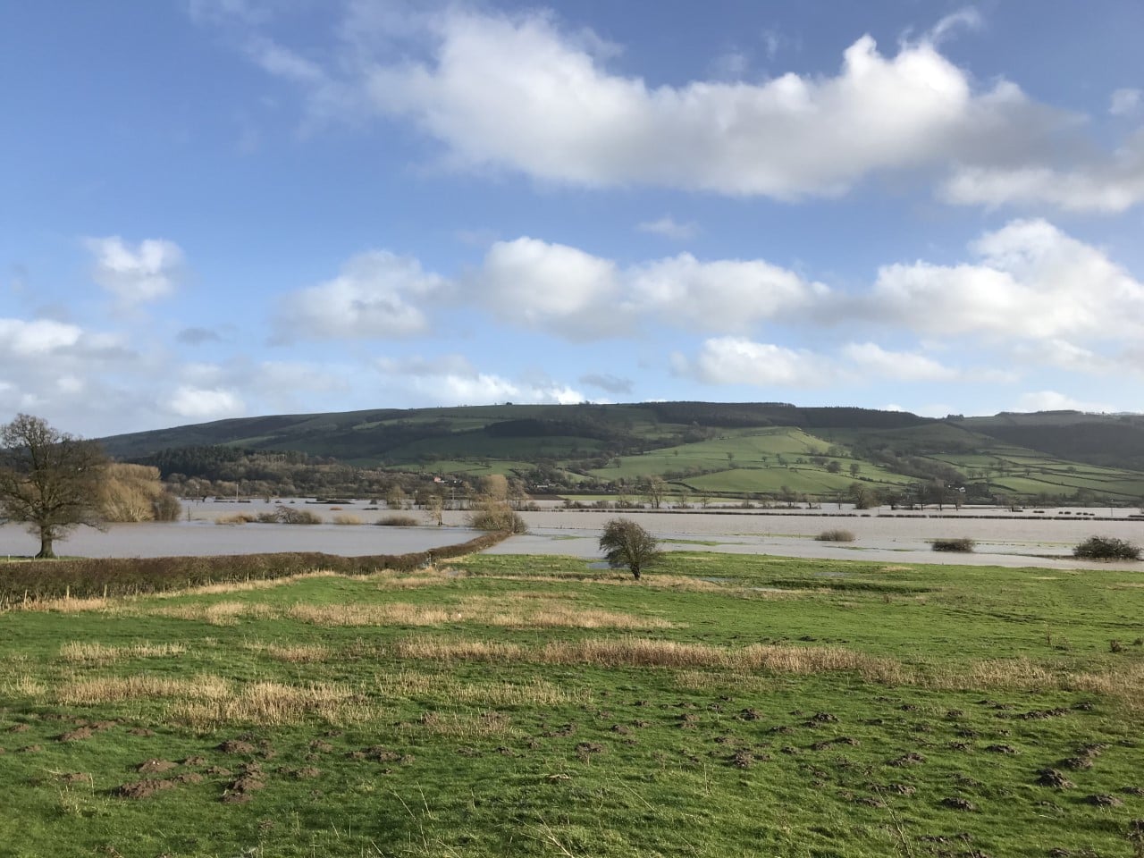
Those of you who are local to the Welshpool area will know only too well that this particular spot along the Moors Straight is renowned for flooding, and while the site of the abbey is generally above flood levels, significant areas of the monastic precinct are inundated each winter. With growing concerns about how these repeat floods may be impacting the abbey site, CPAT revisited the site in 2021 to further assess the risk to the archaeological remains here. The study identified that since 2011, the riverbank had eroded by up to 2m, although this was very localised and most of the bank had changed very little. What was clear was that where the erosion was at its greatest, potentially significant archaeology has already been lost and continues to erode.
While comparison between the 2011 and 2021 surveys has shown that features associated with the abbey have already been lost, this data cannot be used to predict the rate at which the riverbank is receding since erosion is directly related to individual, sporadic flood events and not a continuous process. Nevertheless, over time an area around 30m wide alongside the riverbank could be at risk.